Visualizing Local Govt Spending
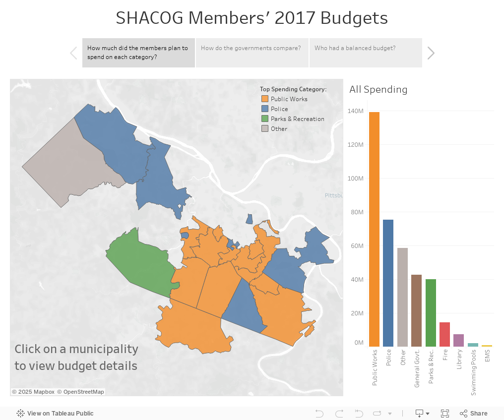
Explore the budgets for all 22 members of the South Hills Area Council of Governments with this interactive map
What is SHACOG?
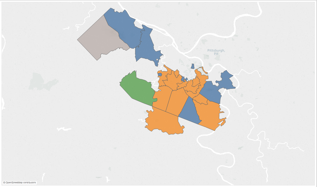
The South Hills Area Council of Governments is a 22 member local government organization located primarily in the lower part of the greater Pittsburgh area. Member representatives assemble to exchange information and collaborate on common issues. Learn more on their website.
Where are the data sources?
Budgets - Each municipality either posted the documents online or made them available upon request. If you click on a municipality on the map you can choose to view the source document for that particular government.
Census - 2016 US Census population estimates were joined with the budget data to calculate per capita spending.
Spatial Data - PSDA provided the mapping data used to draw the municipal boundaries.
What is included under “other”?
It includes mostly things like pension contributions, insurance payments, and debt servicing, as well as relatively smaller departments like emergency dispatch, planning & zoning, crossing guards and animal control.
For a full explanation of how the budget data was aggregated (including how the categories were determined), see the readme file for the dataset.